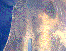
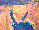
 ISRAEL (click on photos to enlarge), This is a photo of Israel and part of Jordan as far south as the Dead Sea. At 9 o'clock to the north end of the Dead Sea the green area is Jerusalem. To the right of the north end of the Dead Sea at about 2 o'clock is Mt. Nebo where Moses viewed the Promised Land. Under the cloud cover to the north is Mt. Hermon.
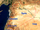 BORDERS This photo shows the borders of Israel, The West Bank, Gaza, The Golan Heights, Syria (did you know Syria had seashore?), Jordan, and Lebanon. It also shows partial borders of Turkey, Iraq and Saudi Arabia.
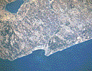 HAIFA/SEA OF GALILEE This photo shows the port of Haifa (bottom center), Mt. Carmel (slightly right of center) and the Sea of Galilee (top left).
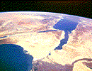 SINAI This photo shows the Sinai looking south over the Nile Delta to Arabia and Africa.
 SINAI This photo shows the Sinai looking north. The Dead Sea is in the top right hand corner.

 ISRAEL
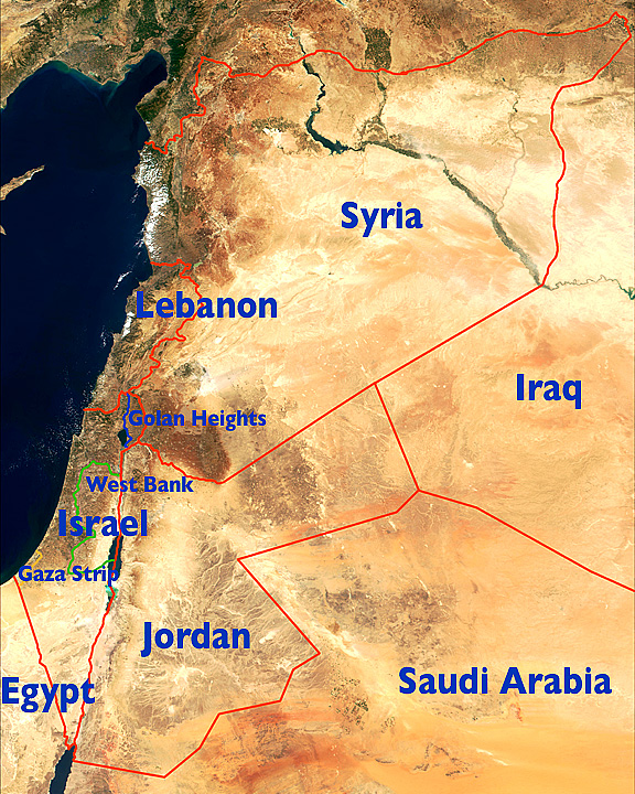 BORDERS
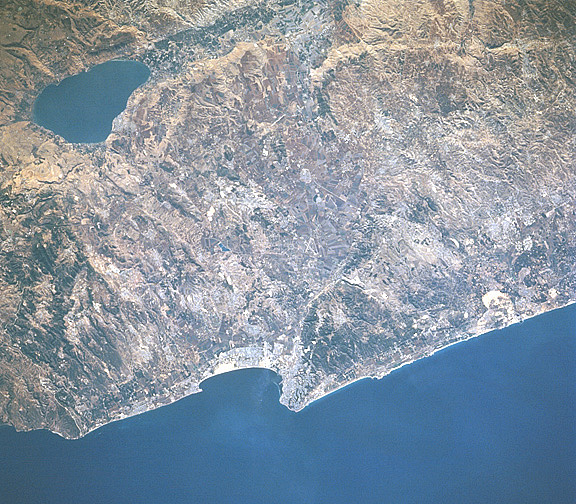 HAIFA/SEA OF GALILEE
 SINAI
SINAI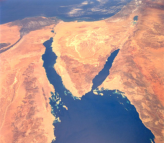 SINAI
SINAI